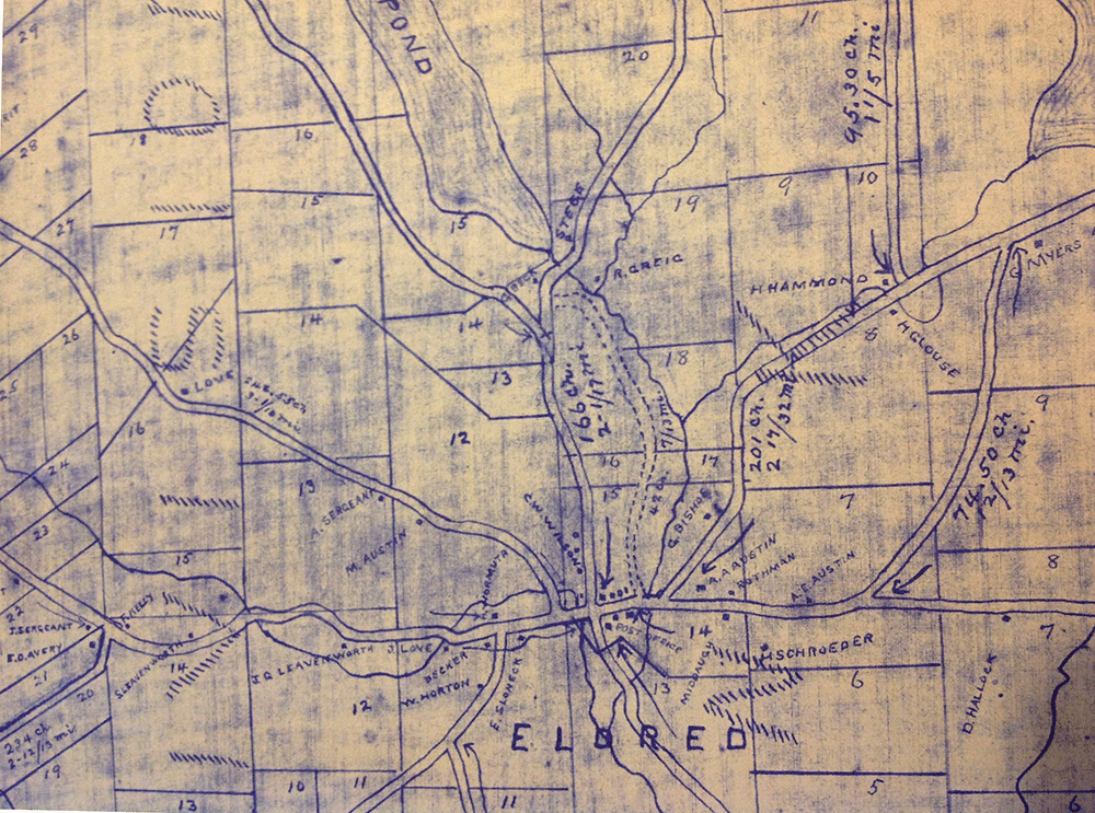
Note: I have been told that this map is not accurate for the Highland Lake area. There was at one time a road (shown by the dotted line) that connected Proctor with Stege Road (starting before Halfway Brook). Though I don’t know if it is accurately shown on this map.



My grandpa Oren George Spangenburg and grandma owed property on Proctor Road. Their property ran up against Proctors fence.
My Dad and Mom Oren Douglas Spangenburg lived on Proctor Road and the Devlin Road. Their property ran up against the Austin property. Dad was custodian for the Eldred Central School built in 1943.
He also was a chicken farmer that supplied many of the boarding houses around Highland Lake. This was in the 40s and early 50s
I would love to see information or see a map (Frenchman’s Field, Marcel Four Rd., Airport Rd. area) to find out when the Fours moved up to Eldred, NY—such as a map showing the name of the Road to the property.
I am really trying to find out how, when, and why the Four family came to Eldred and selected the areas that we live at today.
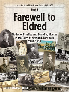
Louise: Colin, As you may know, the first mention in Book 3, was of Emile Four July 21, 1935 when he paid the Leavenworths $20 for his right of way. Marcel Four Road may be on what was once Leavenworth land.
There are several contributors to the Halfway Brook Books who may have more information. They can comment on this post, or contact me at info (at) halfwaybrook (dot) com
I checked the 1917 map and there was no mention of the Marcel Four Rd.
Thank you so much for asking the question and I hope we can get you some more information.