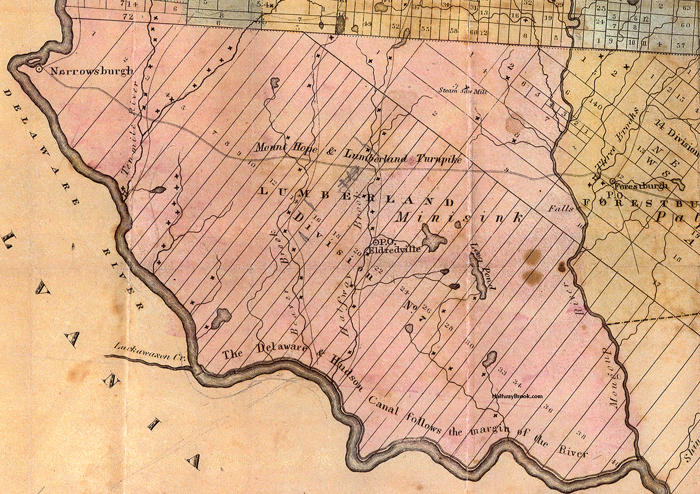
The brooks and streams flowed into the Delaware River, which was the southwest border between New York and Pennsylvania.
The numerous mills built on the many streams are shown on the 1838 Lumberland map. Streams with such names as Ten Mile River, Mongaup, Beaver Brook, and of course Halfway Brook.
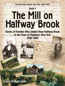
When I wrote The Mill on Halfway Brook, I had not seen the 1838 Lumberland map, courtesy of the Sullivan County Historical Society.
My research had indicated there were eight or nine sawmills on Halfway Brook. So I was surprised to see so many mills not only on Halfway Brook, but on the other brooks and rivers.
I also learned that where the Eldreds lived was called Eldredville. James Eldred, the Postmaster, had the Post Office in his home. Perhaps that explains the label of Eldredville.
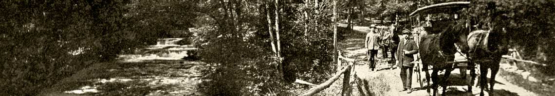
- “The work of most people in the area was related in some way to lumbering. Each lumbering company had its small community of employees, most of whom lived in make-shift tenements, and some did not have a garden. But all received wages which left no surplus at the end of the year.”—John W. Johnston, Reminiscences.

My uncle was the postmaster of Yulan, Fred Hensel. Too bad they had already named the place.