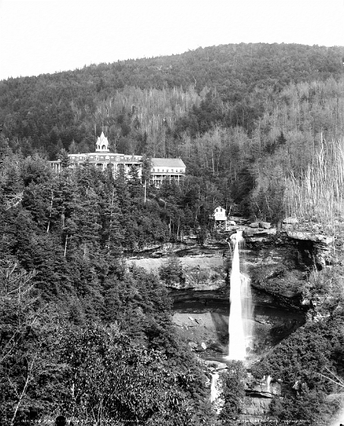
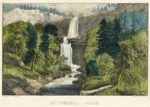
The Kaaterskill Falls, a two-stage waterfall near Haines Falls in the Catskill Mountains of New York, as seen from below with two people on the ledge at mid-falls.
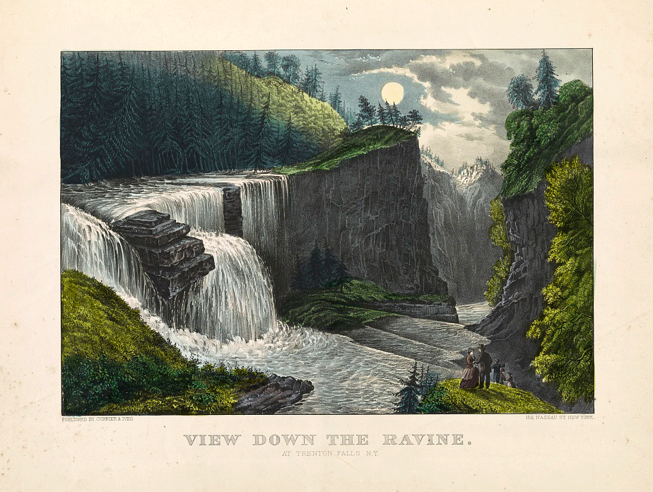
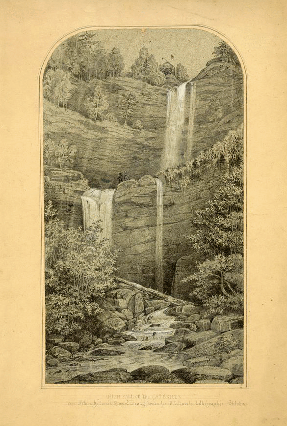
Hello Halfway Brook friends. I have collected some Catskill Mountain images from the Library of Congress to post over the next few weeks on this site. Enjoy!
To comment on posts, please email me at: hwbsmith25 at gmail dot com and I will repost your remarks.

To comment on posts, please email me at: hwbsmith25 at gmail dot com and I will repost your remarks.
To comment on posts, email me at: hwbsmith25 at gmail dot com and I will repost your remarks.

To comment on posts, email me at: hwbsmith25 at gmail dot com and I will repost your remarks.

To comment on posts, email me at: hwbsmith25 at gmail dot com