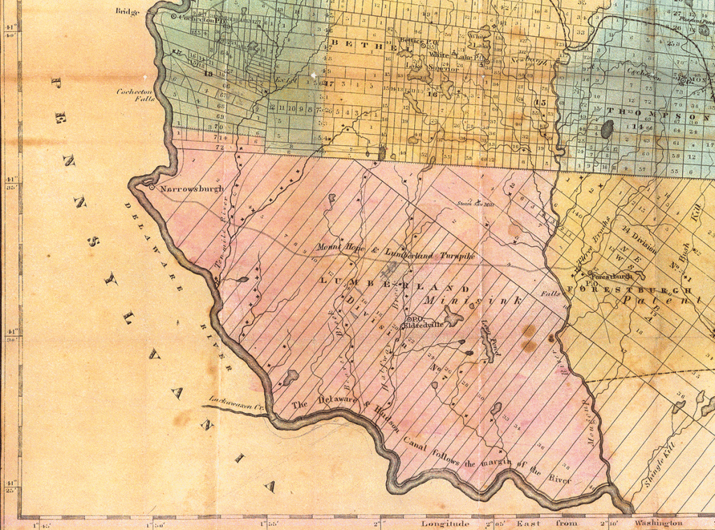
Lumberland Towns and Sawmills
In 1838 the Town of Lumberland included what are now the Towns of Tusten, Highland, and Lumberland.
The map shows Lumberland’s many sawmills on Halfway Brook, Beaver Brook, Ten Mile River, and other streams. The Delaware & Hudson Canal was completed in 1828.
The Lumberland Post Office (labeled Eldredville) was also the home of James and Hannah Hickok Eldred. Barryville is located where Halfway Brook enters the Delaware River.
Spring Freshet, 1832
During the winter, large quantities of lumber from the Halfway Brook mills were drawn to Barryville, made into rafts, then taken several miles down the Delaware River to Handsome Eddy. There they waited for the spring freshets.
At Handsome Eddy, considered a safe place for rafts at any water level, rafts were combined into larger rafts. The usual was a double raft created by lashing two single rafts together. Three rafts lashed together was known as a six-handed raft. The rafts were then anchored and lashed together while they waited to be launched into the Delaware River.
In early spring 1832, at least 2,000,000 board feet and 20 to 25 double rafts of sawn lumber sat at Handsome Eddy, ready to float to market. The water level of the river remained low through the first week of May, which was unusual.
The raftsmen were uneasy because floating their rafts to market on the Delaware River in low water would be difficult.
Starting May 8, 1832 it rained violently for three days and nights. The Delaware River, a raging flood, was covered with the valuable lumber and rafts which had been anchored in Handsome Eddy. Only one raft was saved.
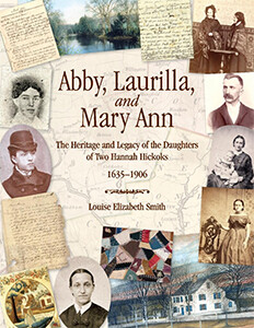
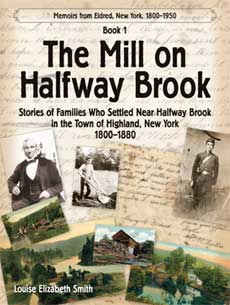
The “May flood” was the highest known until the floods of 1869 and 1895, which was 16 inches higher.—from Johnston’s Reminiscences, 276; Abby, Laurilla, and Mary Ann, p. 144 and The Mill on Halfway Brook, p. 34.
• The complete 1838–39 Sullivan County Map (there seems to be some confusion as to the actual date).
• In 2012 I posted “Eldredville Post Office, 1838”, with information about this map, but not the map.


